Ambergris Cay
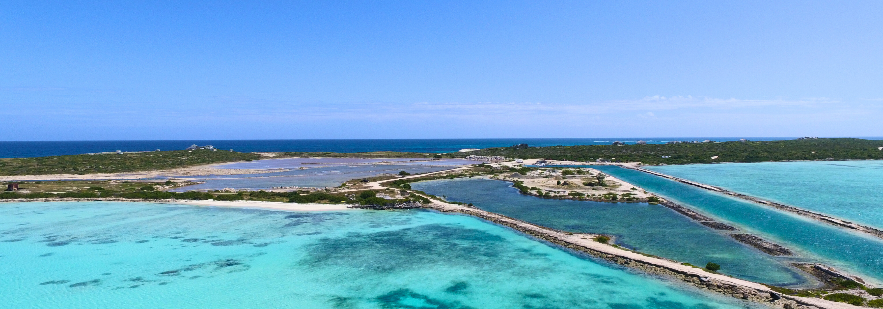
GRAEF designed a phased approach for the development of the Ambergris Marina. Phase 1 was designed to restore the navigability of the entrance channel and “beautify” the marina by excavating the salt flats to provide circulation as well as provide a tidal connection between the marina basin and the entrance channel to promote flushing. Phase 2 called for the full-scale development of the marina to create a fully functional and navigable marina for use by vessels up to 125 feet in length overall (LOA). Dredged material was designed for land reclamation use to support a mix of development (residential, multi-family residential, and commercial). Ultimately, GRAEF developed a plan that is sensitive to and blends with the island's physical, environmental, and cultural heritage of the island.
Key Project Elements:
• Topogrpahic and Hydrographic Surveys
• Geotechnical Investigations (core borings and vibracores)
• Marine Biological Mapping
• Water Quality Testing & Analysis
• Marina Market Analysis
• Marina Planning and Feasibility Analysis
• Dredge and Land Reclamation Design
• Marina Layout and Slip Mix
• Environmental Assessment
• Engineer’s Estimate of Probable Construction Cost
Other Projects
Location
Turks and Caicos Islands
Services
Coastal Engineering
Environmental Engineering
Survey
