How Should We Navigate Waterfront Uses?
When facing these choices, planners must find ways of sharing uses and integrating seemingly contradictory approaches into multi-purpose public places. Sharing waterfronts becomes even more complicated in highly urbanized areas where the combined land area needed to accommodate desired uses exceeds the supply of limited land on the shoreline. When this occurs, planners and urban designers play a vital role in finding ways to maximize the community value of our shorelines.
What are the Social, Environmental, and Economic Issues?
Publicly owned land on the water’s edge belongs to the entire community, not just the few who live nearby. Oftentimes landowners near shorelines fear a decline in their property values when “strangers” share “their” waterfront. Property value, however, is not the only source of conflict – environmental protection, accessibility, and related issues all contribute to the debate of how to best use waterfronts. Planners can alleviate these concerns through community-wide discussion and designing solutions that avoid nuisances and encourage community-wide uses.
Active urban waterfronts in Wisconsin
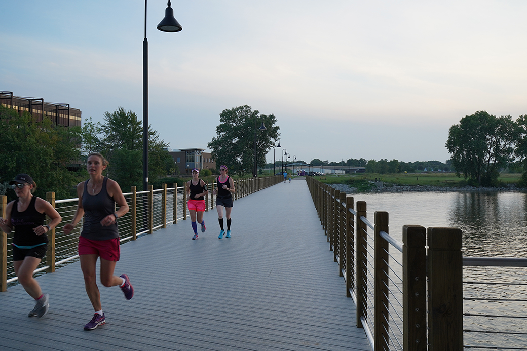
Green Bay’s City Deck represents one of the most successful active urban waterfronts in Wisconsin. Individuals and groups enjoy the waterfront for both strolling and organized activity. City Deck provides exclusive views for residents (with terraces and balconies above street level) but still maintains an inclusive experience for the community to share the water’s edge. Watercraft of all sizes – from kayaks to tankers – add to the waterfront vitality.


If Only One Group "Wins," then All Groups Lose
Dilemmas associated with how best to use waterfronts are never-ending, and planners must strive to achieve balance between competing concerns. If planners fail to address conflicts head-on, divisiveness simmers, and waterfronts become sources of antagonism rather than social compatibility. These waterfront “blues” include three common challenges:
- Combine both conservation of the natural environment along with built-up public places for active socializing.
- Evaluate waterfront land use organization for a mix of public lands for inclusive activities for the community as a whole, while still allow for private exclusive uses for some properties.
- Include opportunities for spontaneous activity overlapped with programmed activities for special events.
Tools for planning waterfronts include a combined action set of design details and implementation expertise.
Pulaski Park
For the Pulaski Park Final Design, along the Kinnickinnic River in Milwaukee, 3D renderings and animations were created for the public to understand and provide feedback on the park design. The park was recently completed – shown here, the before during a storm, and the after showing: multiple shared uses, built-up facilities and native plantings, the naturalized river, a new pedestrian bridge, water quality improvements, and uses by both small groups and individuals. The river and park are bordered by neighborhood streets and mixed-density housing. The newly completed park and naturalized section of the KK River is used by the entire community for spontaneous as well as programmed events.
 |
 |
 |
Further Reading
Does “Sustainability” Have a Bottom Line?
Most comprehensive plans isolate “sustainability” as a separate category and focus almost exclusively on the natural environment as the bottom line. In practice, planners need to stop “isolating” sustainability as a separate planning issue and ensure consideration of three interlocked components...
