Leo Frigo Bridge
Spanning nearly 1.5 miles across the Fox River, the Leo Frigo Bridge is a vital corridor for Green Bay’s commuters and commerce. As part of its multi-phase rehabilitation, GRAEF’s survey and engineering team was tasked with capturing highly detailed structural and elevation data to guide critical repairs and future work.
Given the bridge’s massive size, height, and location over water, traditional survey methods were not feasible. Instead, GRAEF implemented a high-tech approach that balanced safety, speed, and precision.
To fully document the structure, the team combined three advanced scanning methods. Terrestrial laser scanners stationed on land beneath the bridge captured intricate details of piers, girders, and supports.
On the bridge deck, a vehicle-mounted mobile mapping system collected detailed data during carefully coordinated rolling lane closures. The Wisconsin State Patrol played a crucial role, providing safe and controlled access to ensure crew safety and data quality. Temporary targets placed on the deck enabled precise geospatial registration.
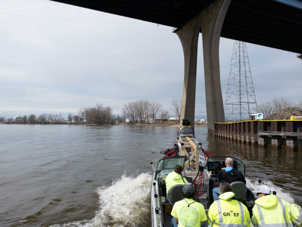
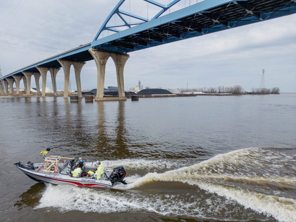
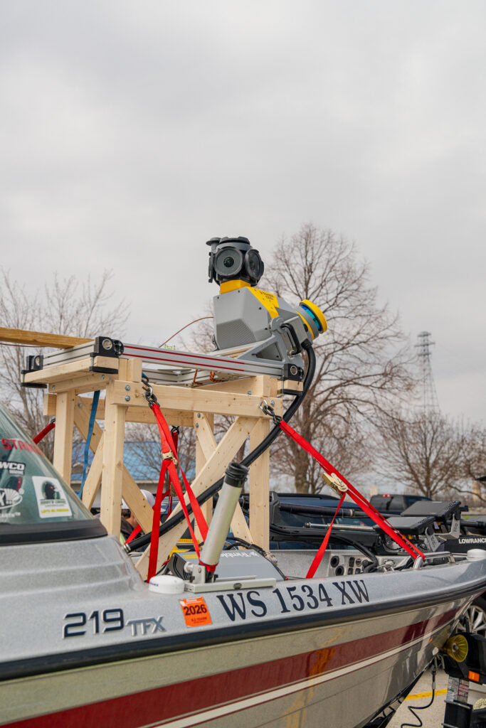
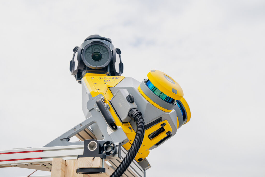
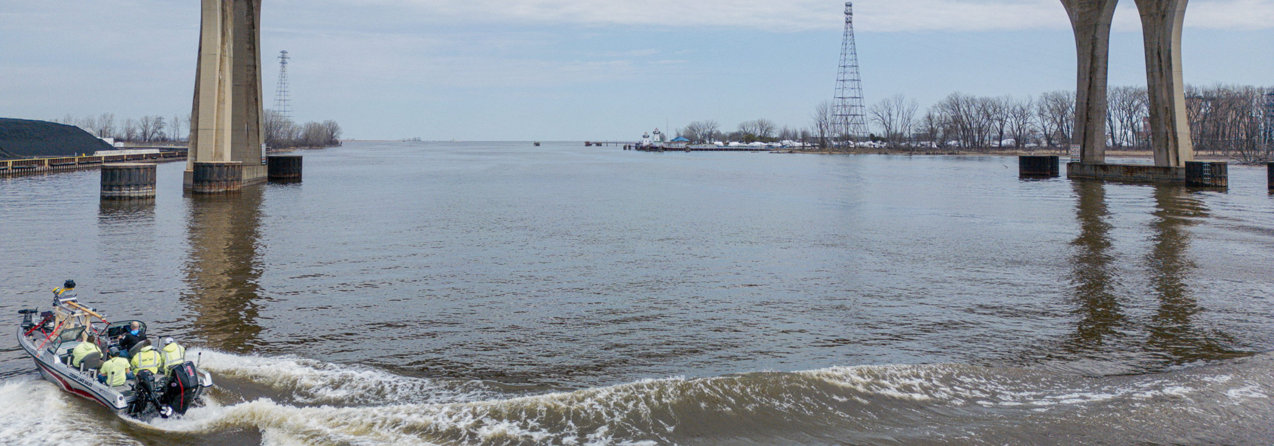
The project’s most innovative aspect was a custom-built boat-based scanning system. Mounted on the bow of a survey vessel, a high-speed laser scanner capable of capturing 1.2 million points per second collected data from beneath the bridge. Over a dozen passes, both lengthwise and perpendicular, covered every inch of the bridge’s underside — including piers, abutments, and water-level features. More than 400 control points ensured all data aligned within a single, highly precise spatial framework. The resulting model delivers measurements accurate to 1/8 inch, providing essential information for structural evaluation.
These advanced survey methods and the precise spatial framework lay the foundation for Phase II — a full digital twin of the bridge to support innovative design, maintenance, and asset management well into the future.
Other Projects
Location
Green Bay, WI
GRAEF Services
Bridge Engineering
Survey
